
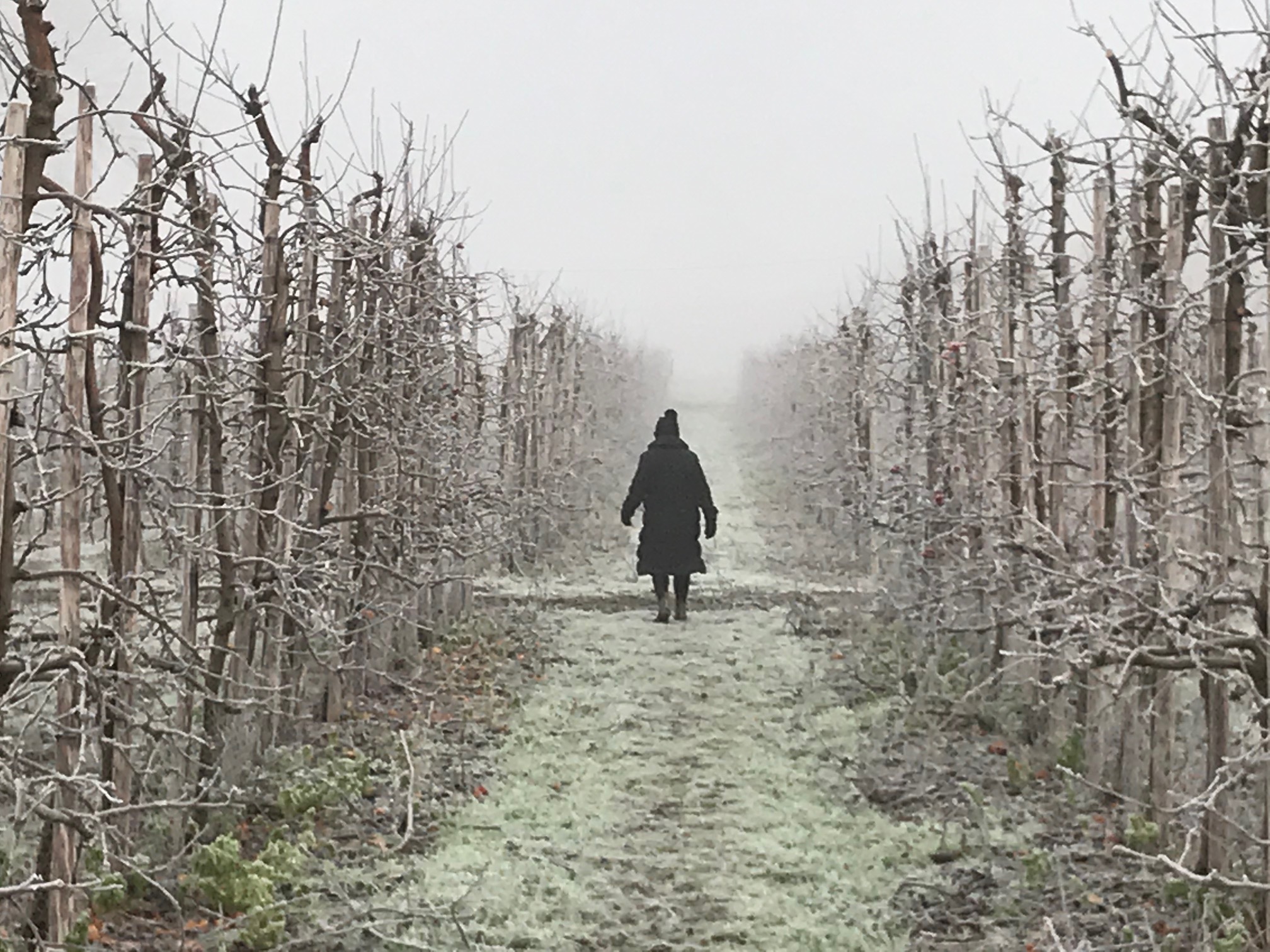
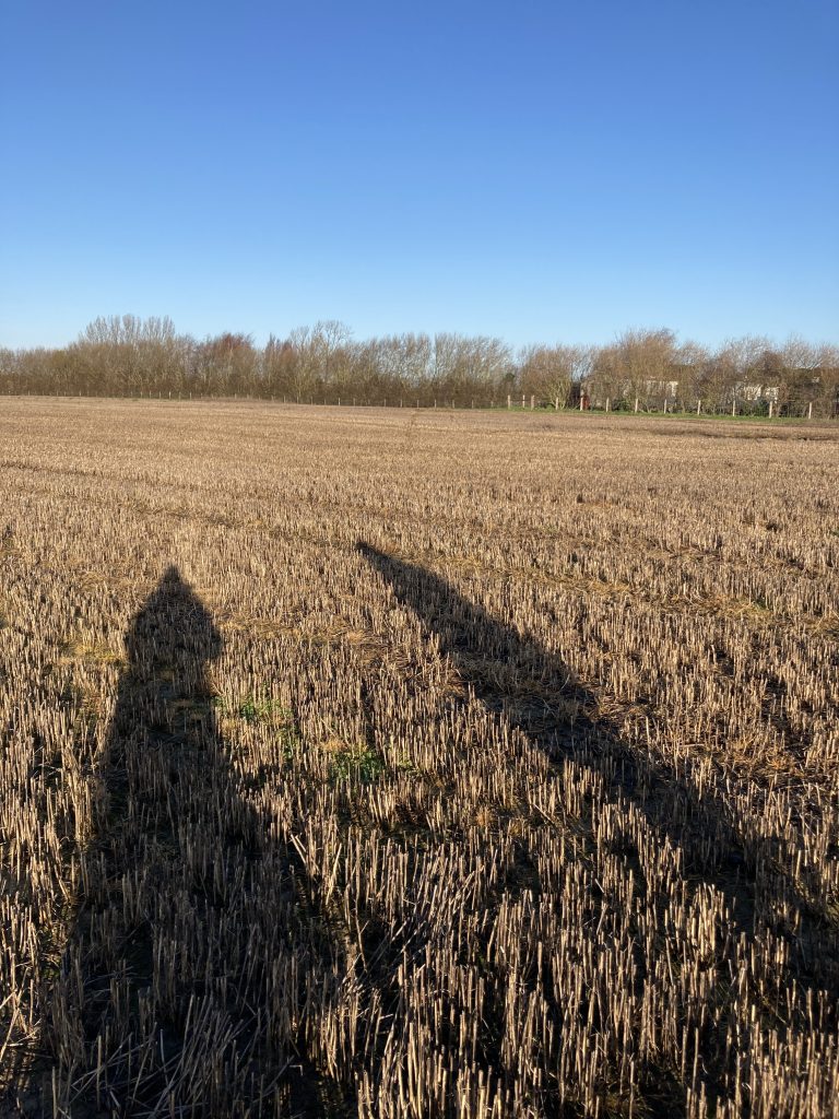
Meg and I have taken to doing a good long walk on Sunday mornings to explore local footpaths and find places in the Kentish countryside that we haven’t been before.
It may be stating the obvious here, but one of the finest tools at our disposal for finding new routes is the Ordinance Survey map.
William Roy and Ordinance Survey
The Ordinance Survey company, dates back to 1747 and has its roots in military strategy: with a young engineer called William Roy tasked mapping the Scottish Highlands following rebellion in 1745. He was just 21 years old at the time.
In 1784, Roy was commissioned by the Royal Society to geodetically connect the Royal Observatories of Greenwich and Paris to solve a dispute over their relative positions.
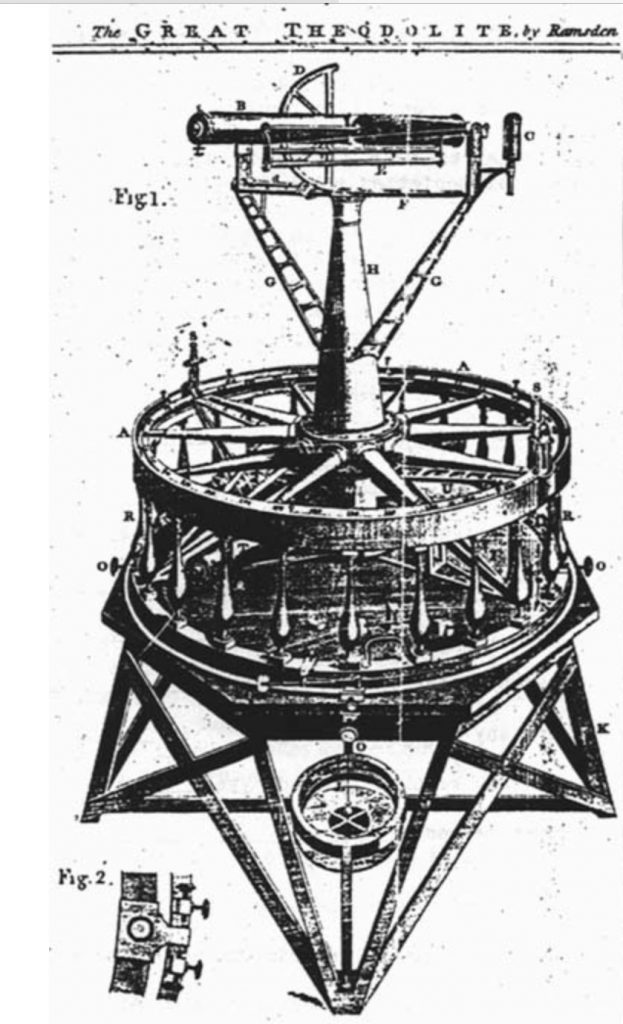
Jesse Ramsden was appointed to build a theodolite that was capable of the accuracy required for such surveys.
In his lifetime, Roy had been convinced that ‘the honour of the nation’ depended on creating ‘a map of the British islands’ that was ‘greatly superior in point and accuracy to any that is now extant’.
Transforming his vision into reality, the Board of Ordnance bought a second new (and improved) Ramsden theodolite.
The date was 21 June 1791 – officially recognised as the birth of Ordnance Survey.
William Roy died in 1790 but his work paved the way for modern surveying and understanding the strategic importance of accurate maps.
Read more about Ordinance Survey history
Jesse Ramsden and The Great Theodolite
A Theodolite is a precision optical instrument for measuring angles between designated visible points in the horizontal and vertical planes.
In approximately 1782 Jesse Ramsden commenced construction on his Great Theodolite. The instrument when completed, (a three year project), incorporated a 3 foot diameter horizontal circle and weighed approximately 200 pounds. It was used by Roy for locating the Greenwich and Paris observatories as well as the Ordinance Survey of Great Britain. The Great Theodolite continued being used for important surveys and is now housed in the Greenwich Museum in England.
I asked Charles Miller, of Charles Miller Ltd (an auction house specialising in maritime and scientific instruments) about Jesse Ramsden:
“Ramsden was in a league of his own, a top instrument maker of his day, in the last quarter of the 18th century and led not only the UK but Europe with instrument designs that set the bench mark to equal for a generation. By the time he died in 1800, his workshop (by St James’s Piccadilly) employed over twenty people, unheard of in an age where most firms were family run or partnerships.”
Jesse Ramsden scientific instruments that have been auctioned by Charles Miller Ltd
Examples of Theodolites sold at auction by Charles Miller Ltd
The Scientific Instrument Society
Charles recommends this book if you would like to read further about Jesse Ramsden:
Ordinance Survey today
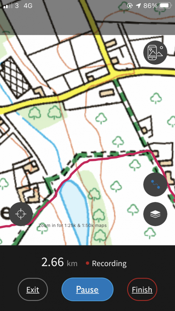
Today’s Ordinance Survey maps can be served to you on your phone (for a reasonable fee, easily justified if you enjoy walking) which makes them very much more portable. And much easier to use, as your exact location on the map can be identified quickly.
It is also possible to pre-plan a route and mark it out on the map before leaving for the walk so you can identify walks and paths which you may specifically want to explore.
Or, if you are walking a new route for the first time, you can record the route so that you have it to hand for future explorations.
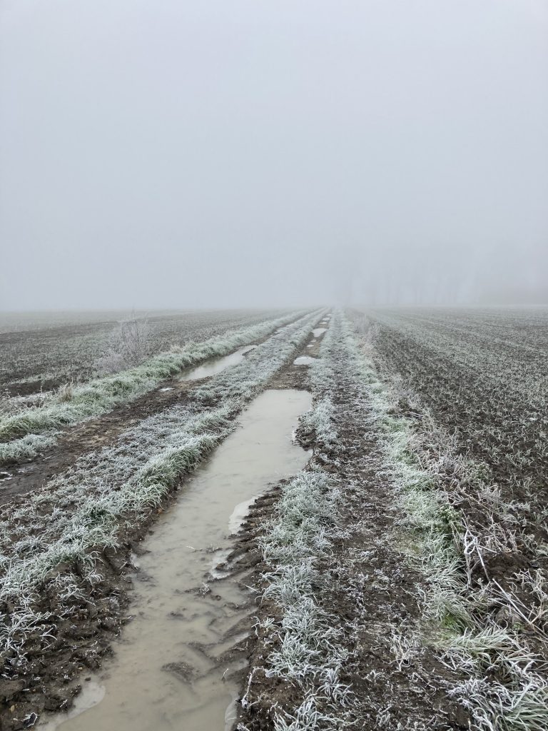
The OS map on our phones has also meant that where we have pre-planned a route we are now more confident to take paths which are otherwise poorly marked or missing completely.
Accurate mapping gives confidence
Because we can work out exactly where we are in relation to the path using GPS location and detailed OS mapping from our phones it means we can pinpoint precisely where land owners have ‘informally’ re-routed paths around their land, and blocking the official path that routes through their land.
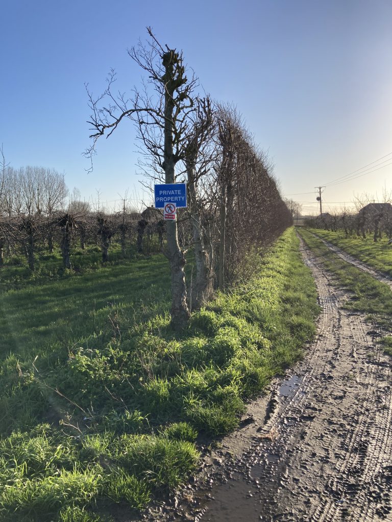
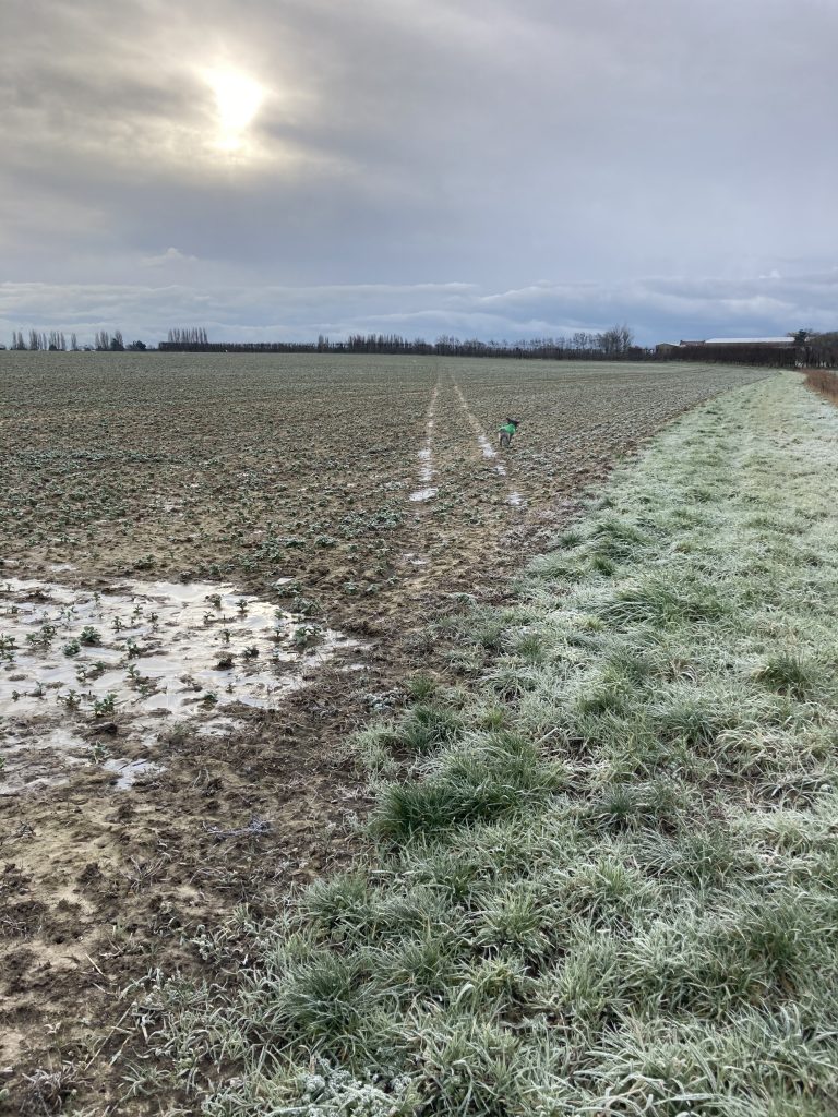
Too often the foot paths can be badly sign posted. Farmers often plough fields without leaving a pathway marked and relying on local walkers to trample it back into the field. Or ambiguously place ‘private’ signs which make you question whether the footpath exists.
Having the Ordinance Survey map in our pocket gives Meg and I the confidence to take the path despite its vague identification.
What these local walks have shown us is that we have a large number of fabulous varied footpaths close to home. We are very lucky to have such a great mapping system to help us to use them.
A good map is essential when it comes to having the confidence to stride forward in the right direction!
The fact that the Ordinance Survey map also makes it easy for us to highlight issues is a great benefit.
It is possible to report issues you find with footpaths that have been re-routed, blocked, moved or marked with misleading sign posts.
This is a list of some of the organisations who will pay attention to your observations while out and about.
Government guidance for landowners
Report issues with Kent footpaths
Main photo © Meg

Fascinating. I will download the app and hope for more free time to explore locally!