Home · Walks & essays · England-wide
Essay
Public footpaths and rights of way, in plain English
What a right of way actually is in England, who looks after them, how to tell footpath from bridleway from byway, and what to do when a path is blocked.
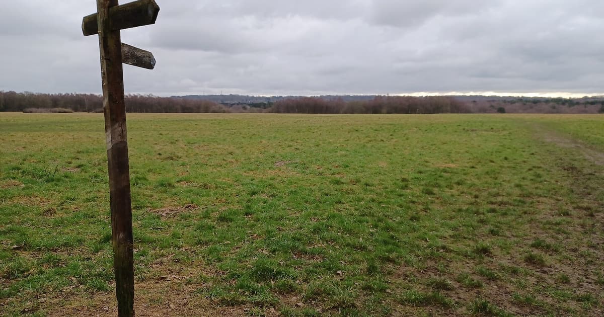

A right of way is a line on the ground where the public has a legal right to pass, whatever the land around it is used for. Someone owns the field, the wood, the farmyard; the path is theirs to maintain in some ways and yours to walk along. That is the short answer. The longer answer is where the interesting walking tends to happen.
If you have ever stopped at a wooden fingerpost without quite knowing whether you were allowed through the next gate, this is a plain English guide to what is going on. It covers England. Scotland has a broader right of responsible access and a different code, and Wales and Northern Ireland have their own local rules; another piece on this site will come back to those.
What a right of way actually is
A public right of way is a path the public may lawfully use, recorded on a document called the Definitive Map and Statement held by the county or unitary authority. The path sits on land that still belongs to someone else, usually a farmer or an estate. The landowner owns the soil, the hedge and the stile; the public owns the right to pass and repass.
Government guidance on using public rights of way puts it bluntly: you can walk on all public rights of way, and the signs or coloured arrows you see on gates and posts tell you which kind you are on. Yellow is for footpaths, blue is for bridleways. If it is a right of way, your freedom to walk it does not depend on the mood of the farmer on the day.
Footpath, bridleway, restricted byway, BOAT
There are four main categories of right of way in England. They sound bureaucratic until you are at a junction trying to decide which fork is yours.
- Public footpath. Walkers only. Yellow waymark arrow.
- Bridleway. Walkers, horse riders and cyclists. Blue waymark arrow.
- Restricted byway. Walkers, riders, cyclists and horse-drawn vehicles, but no motors. Purple arrow.
- Byway open to all traffic (BOAT). Everything, including motor vehicles. Red arrow.
In practice, most of what people call ‘going for a walk in the countryside’ happens on footpaths and bridleways. BOATs are rare and sometimes hard to love, because tyre tracks cut the surface up in wet weather. Many walkers quietly prefer a muddy bridleway to a chewed-up byway.
Access land is different
A right of way is a line. Access land is an area. Under the Countryside and Rights of Way Act 2000, specific pieces of open country, registered common land, and most of the English coast path are open to walkers on foot, who may wander freely. These areas are shaded orange on current Ordnance Survey Explorer maps and marked with yellow boundary posts on the ground.
Access land has a few local restrictions: some has no dogs at certain times of year, some is closed for up to 28 days a year for land management, and most has a ban on wild camping without the landowner’s permission. If you are new to a piece of access land, the rights of way and accessing land overview on GOV.UK points to the right authority to check for closures.
Who looks after paths?
The legal duty to keep rights of way open and signposted sits with the highway authority, which for most of England means the county council or the unitary council. In National Parks, the Park authority takes on most of the work. Landowners, meanwhile, have a duty to keep stiles and gates in repair and not to let crops grow over the line of the path.
That shared responsibility is why some paths are immaculate and others disappear into waist-high maize for a month a year. The local Public Rights of Way (PROW) team can be reached through the council website; most will take reports of blocked paths by online form.
What to do when a path is blocked
A fallen tree, a crop grown across the path, a locked gate where there should be a stile. The polite and useful thing to do is to:
- Check your map. Make sure you are on the recorded right of way and not a private track that looks right.
- If you can pass safely without damage, pass. You have not trespassed.
- Make a note of the grid reference and take a photograph if you can.
- Report it to the council’s rights of way team, or through the independent reporting tool run by the Ramblers.
You do not need to argue with anyone at the time, and you do not need to post it online. A short report with a grid reference is much more useful than a heated exchange at a gate.
What right of way is not
A right of way is a line across other people’s land. It is not a licence to wander off it, to picnic in the middle of a field of lambs, or to assume the next gate will also be open. The Countryside Code captures the small decencies well: close gates, keep dogs under control, leave what you find. We have our own piece on the Code in practice.
If you are new to looking at the line on the ground, an evening with a paper map helps. There is a short companion essay on this site on reading an Ordnance Survey map, written for people who want the symbols to stop being a wall of code.
If in doubt
When a path on the ground does not match the path on the map, trust the map, and check with the local highway authority afterwards. Rights of way are legal records, not somebody’s best guess.