Home · Walks & essays · England-wide
News & notes
The 2031 cut-off for lost footpaths: where the repeal stands in late 2026
A promise to scrap the deadline for recording historic paths was made almost two years ago. The law has not yet caught up, so path hunters are still working to the old date.
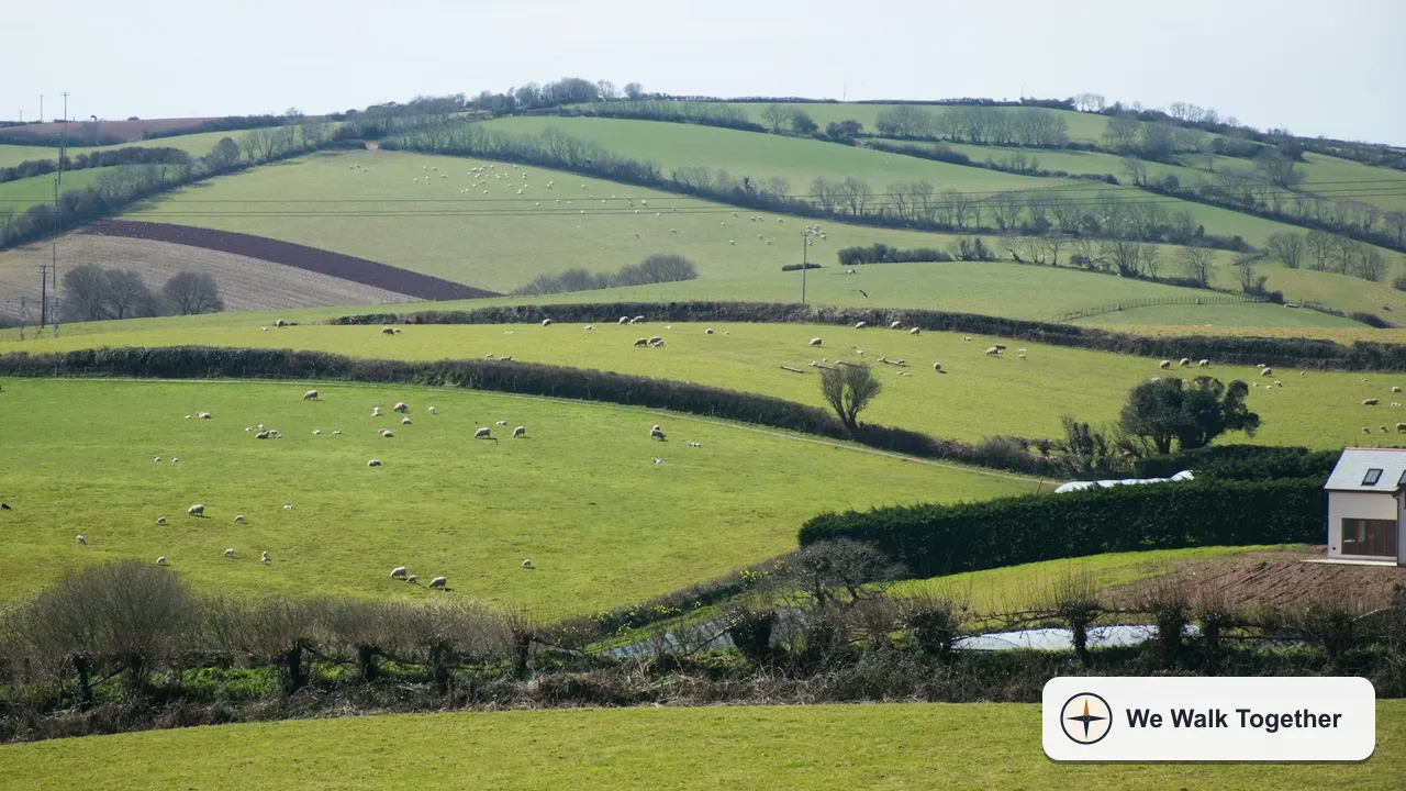
Short answer first: as of November 2026 the deadline for adding many historic paths to the official record in England is still technically 1 January 2031. The government announced on 26 December 2024 that it intends to repeal that cut-off, but no repeal date has been set, and councils are still advising people to get applications in before 2031 if they rely on old documents.
If you have ever followed a sunken track between two hedges, found it simply stops at a parish boundary, and wondered why, this is the story behind it.
What the cut-off actually is
Every county or unitary council in England keeps a Definitive Map of public rights of way. If a path is on that map, it is a public right of way, full stop. Our earlier piece on rights of way in plain English covers what that record does and how footpaths differ from bridleways and byways.
The Countryside and Rights of Way Act 2000 included a closing date for adding certain historic routes, broadly those in existence before 1949, to the map on the strength of old documents. Enclosure awards, tithe maps, estate plans and old highway records are the usual evidence. Once the date passes, routes not yet claimed through that historic evidence would be extinguished as public rights, with some exceptions to be set out in guidance.
The original date was 1 January 2026. The previous government kept the cut-off in place but pushed it back to 1 January 2031. So the year on the calendar that once worried path volunteers has arrived without the deadline biting.
The December 2024 announcement
Just after Christmas in 2024, Defra said it would scrap the 2031 deadline altogether. Farmers Weekly reported the decision with reaction from both sides. The minister for access, Baroness Hayman, called it a critical step for long-term access, and the Ramblers and Natural England welcomed it. The Country Land and Business Association took the opposite view, describing it as a backward step and warning of speculative claims, strained council budgets and disputes over routes that no longer make practical sense across working farmland.
Why nothing has changed on paper
An announcement of intent is not a change in the law. Gloucestershire County Council's page on the 2031 cut-off puts it plainly, noting that there was still no change as of June 2026 and that no date for the repeal had been announced. The same page notes that Defra has not published its guidance on exceptions, and that the expected protection for routes in regular use is anticipated but not confirmed.
In practice this means the rights of way teams who process applications are planning as though 2031 might still apply. Gloucestershire also expects applications to rise as the date gets closer and advises people not to leave it late.
What a path claim involves
The formal route is an application for a Definitive Map Modification Order, usually shortened to DMMO. The process is evidence based. Gloucestershire's guidance sets out the steps in a sensible order:
- Identify the route you believe is missing and gather the evidence for it.
- Get the application forms from the county or unitary council.
- Support the claim with user evidence (people who have walked it), documentary evidence (old maps and records), or both.
- Submit before 1 January 2031 if your case depends on pre-1949 documents.
Claims based on recent public use rather than old documents work differently and are not the main target of the cut-off, but the paperwork is similar. A local footpath society or the council's own team can usually tell you which kind of case you have before you spend weekends in the archive.
Before you start a claim
Check the council's online rights of way map first, then the Definitive Map itself if you can see it. Plenty of paths that look lost on a commercial map are already recorded, just badly signed or overgrown on the ground. Those are a maintenance problem, not a missing record.
The waiting game
The longest part of most claims is not the research. Councils often have long queues of applications to determine, and some cases sit for years. If a council is very slow to decide an application, there is a formal step available. The Local Government and Social Care Ombudsman's fact sheet explains that delay in considering a request to add a footpath to the Definitive Map is usually a matter for an application to the Secretary of State under the Wildlife and Countryside Act 1981, rather than an Ombudsman complaint.
That matters because the cut-off, if it survives, applies to the date an application is made, not the date a council gets round to it. A well-prepared claim lodged in time is what counts.
How walkers can help without becoming lawyers
You do not have to file a claim to be useful. Some things anyone can do on an ordinary weekend walk:
- Notice dead ends. A path that stops at a field boundary for no obvious reason is often a clue that its continuation was never recorded.
- Compare the ground with an old map. Many county record offices and libraries hold historic Ordnance Survey sheets. Our guide to reading an OS map helps with the symbols, which have not changed as much as you might expect.
- Pass what you find to people already doing the work. Local footpath groups and Ramblers volunteers often keep lists of suspected missing routes and know which ones have the strongest evidence.
- Keep walking the paths that are recorded. Use is the best defence a path has, and the record means little if nobody can get through.
What to watch for next
The thing to look for is a commencement or repeal provision, either in a bill or a statutory instrument, that actually removes the 2031 date from the 2000 Act. Until that appears, the safe working assumption for anyone with a historic claim is that the old deadline still stands.
For most of us the debate is invisible on the ground. The stile is where it always was and the path goes where it always went. But some of the best walks in the country include stretches that were only added to the map because somebody spent winter evenings with tithe maps and a magnifying glass. If you have that kind of patience, this is a good time to put it to use, and a conversation with your council's rights of way officer is the right first step.